Eleuthera is Wonderful

Mr. and Mrs LaFleur, owners of a local farm and bakery
Wonderful people…hard working…kind…friendly…
Rock Sound, Eleuthera, in the Bahamas is a very developed and modern Bahamian island with vast diversity. We were anchored in Rock Sound due to weather for 4 days and, during these days, we rented a car and serviced the boat. We used the local laundry services by JANET, and we jugged 75 gallons of water out to the boat. We filled up the propane tank and the dinghy gas tank. We shopped at the local market and the local farm stand. We used the WiFi and the Batelco 3G networks. What we take away….Rock Sound is FOR SERVICES…..and for stocking up after arriving here from the the more remote Exuma Islands. 
We toured the Glass Window and the towns of Hatchet Bay and Governor’s Harbor, the capital. The island is 110 miles long and has large farm lands that used to grow pineapples, corn, and bananas, along with large herds of cattle. Today, there are few farms and no more cattle, yet the island has good soil and large open fields. Two of the most beautiful buildings we toured were the St. Patrick’s Anglican Church and the Haynes Library, both in historic colonial Governor’s Harbor.  We really enjoyed Eleuthera, and we look forward to more days spent here next year
Rock Sound, where we anchored for days….
A local mailboat departing after delivering the town’s supplies for the week
St. Patrick’s Anglican Church in Governor’s Harbor

St. Patrick’s Anglican Church in Governor’s Harbor

IP-420, True North, Dennis, Radeen, Debbie, prepare for Island Gift Shopping!

The rock cliffs at the Glass Window north Eleuthera

The team takes a lunch break at TIPPYS on the beach at Nix’s Point

The beautiful Haynes Library in Governor’s Harbor

Lobster sales with the local fisherman……$20 each!

Spinney Lobsters and their colorful markings

We will depart Eleuthera tomorrow and make a 50+ mile run for Current Cut, and we leave this wonderful town with fond memories of the beauty and the hard working people that make it so…..

Sailing to Eleuthera

…The sailing to Eleuthera was fantastic..

We really enjoyed our 4 days in Warderick Wells, but it was time to press on and sail on over to Eleuthera and into Rock Sound. The winds were E to SE 12-17 with a few gusts to 20-22 knots. With SE winds we were mostly on a beam reach and the seas were 2-3 also on the beam, so it was a dream sailing day. Our autopilot sailed us on the 30 mile crossing to Powell Point. We then sailed partway around the sandbars until we needed to fire up the motor and power into the harbor.

Working the GoPro on a long boat hook

Rock Sound is a very large harbor that is easily 1.5 miles across and there are dinghy docks and landing places for getting to shore. We were in need of water, as we last took on water in Gerorgetown, 12 days ago, and our 90 gallon tank was getting low! Yes, we made it 12 days on about 65-70 gallons of water, and we do shower everyday! We estimated our water usage at about 5-6 gallons a day total. While on anchor in Rock Sound, we jugged 75 gallons of water from the beach to the dinghy to the deck and into the water tanks. This is a bit of a task, but we have done this before and here in the Bahamas, where water is $0.50/gallon when you find free water, you take it, even if you have to carry it!

The Market Place in Rock Sound, very modern!

Our other task on in Rock Sound was to explore the Market, which is very modern and new. We picked up a few items like milk, cheese, yogurt, eggs, and a few snacks, and checked out with a $95.00 bill! WOW, food is expensive here in Eleuthera. Good thing the RUM is cheap 🙂 We plan to walk more of the town and discover this well known gem of a location. One thing is for sure, you can easily tell this island is far more developed than the others simply by walking the roads and the visiting the market.

Here are some photos of the area

This is a really cool shot from the GoPro that was sideways up on a long boat hook
Radeen manages the helm and the logbook
Sailing at 7 knots in 21 knots on the beam…..perfect
The chart with us in the middle of the Exuma Sound sailing for Eleuthera
Calm seas, 2-3, beam winds, this is the shade of blue of coming up on soundings
from the deepest ocean blue
Beam reaching, midway across the Sound
An Eleuthera home in restoration need
Looking into the window and out the roof
Island Spirit anchored off the town dock
One of the many cottages you can rent on the beach in Rock Sound
$7.44 for a jar of peanuts!
Milk is $5.85 for a half gallon
This is what $95.00 of groceries looks like and we bought no meat!
Best deal: Ramen Noodle @ $0.38 each!
This is our access to town – the dock where we tie up the dinghy

Bahamas…..beautiful…but the PEOPLE…. are even more so. Everyone we meet is so friendly, so kind, very calm, patient and very willing to help you. This is what truly makes the Bahamas so special. The people are wonderful!

Hiking Warderick Wells

Radeen on the trails…..

We are hiking the trails and enjoying the remote beauty of Warderick Wells for one more day before we head northeast for Eleuthera. The hiking trails are numerous and well marked with yellow paint on rocks and cairns, stacks of rocks to guide us. The dunes provide panoramic vistas overlooking Exuma Sound and west to Exuma Banks. From these high vantage points you can see the beautiful deep blue Sound side contrasted to the aquamarine Banks side. The shallow waters light up with a nearly white color as the sand bottom reflects the light back to the 1-2 foot surface. Navigating these waters is simple mid day by  reading the color of the water. This makes it easy to see the deep waters as you approach the islands, cuts and harbors. Today we will hike a few more trails, and enjoy more beaches and maybe even more snorkeling. It is obvious why so many cruisers spend time in Exuma Cays Land & Sea Park.

Hayden and Radeen share homemade bread with JEN

Volunteer extraordinaire  Jen, who hails from Vermont, makes this place even more special, with her friendly and welcoming attitude. She runs the gift shop and the radio and answers at least 1,236,547 questions every day!  Thank you to Jen and Andrew and the rest of the Park Crew for making this place great!

Here are a few photos of the trails…

It is amazing that anything can grow on these rocks!

Typical trail across Warderick Wells
A Curly Tail suns on a rock at barefoot beach

Looking back to the bank side and the aquamarine water

Our tender and its shadow at the dinghy dock, 10-15 foot water

Radeen next to a trail maker

Red Mangroves at low tide
Bread for Jen and the Exuma Park Staff

….thank you again for sailing along, we hope you are enjoying the discovery along with us….

Boo Boo Hill and Beyond

…That is our boat way down there….

Yes, we made it to the famous Boo Boo Hill on Warderick Wells! The cold front has brought 25 – 30 knot winds and cooler temperatures, so lots of rocking overnite and no snorkeling today. While two loaves of home made bread were rising, we had spashy a dinghy ride ashore to the Park Office. Sweet and friendly Jen gave us a map of the 18 trails on the island and a marker for making our traditional driftwood sign to leave on top of the hill. Little did we know how elaborate some of the signs would be!

Boo Boo Hill as seen our our porthole on the boat

The path was clearly marked and very informative, with large, well-made signs explaining how the water table works (a thin fresh water layer on top of salt water keeps the plants alive in the dry season) and the differences between red, black and white mangroves (red mangroves are in the saltiest areas, have blossoms with no fragrance and excrete salt through their roots). After fording Banshee Creek, we climbed up the hill, watched the blow holes and the crashing waves on the ocean side and then pressed on to the top. We added our simple sign to the multitudes there, most dated from 2009 till the present. The views of our boat on the mooring ball were incredible – see photos below! Our reward for this effort was warm bread and soup for lunch!

Island Spirit on mooring ball #11

A Curly Tail Lizard walks the trail with us
Hayden at the sight of all the cruising boards onto the hill

The Ocean side of Warderick Wells with 8 foot waves crashing onshore

Radeen makes a quick Island Spirit board with a sharpie

Back at the park office, the porch overlooks the mooring field

Home again, and BUNS II, rests off the stern of Island Spirit

As soon as theses frontal winds dies down, we will be making a crossing over to Eleuthera and moving into Rock Sound where we will take on water and spend time exploring that Island.

Warderick Wells Snorkel-a-Rama

Six foot spotted Eagle Ray

This place is just too beautiful and we really appreciate the people who had the foresight to preserve the entire Exuma Cays Land and Sea Park in the 1950s! The Park is 22 miles long and covers176 square miles. It reminds me of the similarly stunning beauty of Acadia Maine and our explorations there.

Today, we snorkeled three reefs and spent the day mostly in our wet suits, fins and masks. We were in the water at 0930 this AM on Judy’s Reef and there we swam with a six foot spotted eagle ray! From there we moved to the lesser current of Emerald Rock where we observed some large groupers and angel fish. After lunch, we snorkeled the reef near the office and swam with a five foot green turtle, which was surprisingly fast, and many truly large lobsters. Exuma Cays Land and Sea Park is a world treasure. After the day of snorkeling, we walked the low tide sand bar just off our boat on mooring ball #11 and then had cocktails and snacks with Cliff aboard IP-40 Navigator. Truly a dream day….Life is GRAND aboard a cruising sailboat!

Here are some reef photos of the day…

An over hanging ledge off Judy’s Reef
Colors of the live and healthy coral
For some reason, I like these ledges
Radeen swims over the spotted Eagle Ray
Beautiful coral reefs
Our boat on mooring ball #11 as we return from the reef
Radeen and our AB tender beached on a low tide sand bar with Island Spirit in the distance
This place,Warderick Wells is AMAZING!

What a dream place this is. We are so lucky to spend time exploring and learning about the Exuma Cays Land and Sea Park. Thank you so much for sharing in our adventures.

a Sail to Warderick Wells

Working the GoPro camera on a boat hook…Blaine style…..

Today was a dream sail, and a lazy sail, as we set the jib to port and put up a whisker pole for a dead dowwnwind sail in 15-20 knots from Big Majors Spot to Warderick Wells. This places us right in the middle of the Exuma Land and Sea Park and at the park’s office where we had the pleasure of meeting Jen, the most patient girl you will ever hear on the radio. Jen’s job everyday at 0900 is to manage the three mooring fields and assign mooring balls to waiting yachts. You can radio in the day before and request to be placed on the waiting list. At 0900, Jen takes over channel 09 and inquiries which yachts are leaving, or have left, and then systematically and calmly assigns yachts to the various moorings based on length and draft. There are yachts here 100 feet long on mooring balls! Most are 40-50 feet. Radioing in from Big Major Spot, we were on the waiting list and once underway, we were assigned mooring ball #11 in the north field near the Park Office. The sailing, dead down wind, was a real treat as well, and we easily slipped along at 4.5 to 5.5 knots with the jib poled out. A few hours later, we turned the corner at Warderick Wells Sand Bore and sailed a beam reach right up to the entrance. Radeen motored us into the creek and past the many moorings. In the strong current, she placed our bow directly over mooring ball #11 so I could connect our mooring lines. We are HERE….Warderick Wells, part of the Land and Sea Park established in 1958!

The whisker pole set to port side

We deployed the tender and motored into the park office, where we checked in. Amazingly, we bumped into Debbie “Blondie” and Dennis owners of IP420 TRUE NORTH. Wespent last winter with them in Marathon, Florida, at Harbour Cay Club and in the Abacos. After tomorrow, they are heading south as we are heading north. It was great to visit with Island Packet Friends!

Tomorrow, we plan to snorkel some the many reefs around the park. Then the frontal line will arrive late at night with NW, then N winds of 20-25 knots. We plan to hike the trails and explore the island when the winds will keep us from snorleking. Once the front passes, we will head north to Highbourne Cay or maybe make a run for Eleuthera.

Sail on sail on
Warderick Wells Exuma Land and Sea Park Headquarters view

Radeen checks in at the park office and scales the dock wall

Island Spirit on mooring ball #11
The Internet here is satellite based and very slow and costs $15.00 for 24 hrs limited to 100 megs. Uploading this blog post was amazing that it actually worked! Today….it is SNORKEL TIME….thanks for sailing along…

Big Majors Spot and Staniel Cay

Anchored with the swimming pigs a safe distance away….

We dropped anchor off the beach where the swimming pigs live; yes, these pigs can swim! From this spot, we have explored Staniel Cay and the famous Thunderball Grotto! When anchored off Big Majors Spot, it is about a 1 mile dinghy run to Staniel and the Grotto. The advantage to anchoring here is the protection from the east winds and the currents. There are over 45 boats here and some more than 100 feet long. I can see why so many people spend time here, as the beach is great, the swimming pigs are fun, and the Grotto is spectacular. 

Staniel Cay has a nice yacht club pub and restaurant and a few settlement stores and shops. Again, you are reminded that you are in the Bahamas when the store is two 10′ x 10′ rooms. But, hey, you did not come here to shop, you came here to swim, snorkel and discover the beauty of the Bahamas and the gracious people.
My favorite way to share a location is via my photographs. I will allow them to tell the story….
CLICK THE PHOTOS for BIG IMAGES

Welcome to Big Majors Spot

Yes….pigs can swim

The local school for all ages, I love the slogan

A smart nurse shark rests in the shade of a tender from “Bernadette,”
a Trumpy motoryacht built in Annapolis.

The local health clinic is manned by an RN and is open weekdays and for emergencies

This is how I am getting these photos online….BTCbahamas.com

Imagine climbing this after a hurricane and fix the wires!

A shed at the local boatyard and a corn patch

Bahamian skiffs and mega-yachts all arrive at Staniel Cay Yacht Club

Sunset – time to put the jet ski away and the tender, too

Famous local Race Boat ready for relaunch and spring racing

“Tida Wave,” ready to be rolled into the water at high tide

Radeen, anxious to snorkel the Grotto

Hayden and Radeen snorkeling Thunderball Grotto

Radeen entering one of the caves

Radeen is searching for James Bond inside the Thunderball Grotto

Looking up to the Grotto’s ceiling and holes to the sunshine

The coral reef that rings the outside of the Grotto

Purple Sea Fans wave in the current next to a large brain coral

The reef is alive and looking very healthy

Beautiful sea fans

Sergeant Majors are well fed by visitors …they swim right up to your mask

Time to run the tender back to the boat, a 15 hp engine is a must have

ahhhh…..back at “home” we swam a few laps around Island Spirit

What a beautiful day in beautiful water in the beautiful Exumas….this place will ruin you for sailing and boating ANYWHERE ELSE! Tomorrow, we will move onto Warderick Wells in the heart of the Land and Sea Park. So much to see….and we LOVE IT….

George Town Overview

IP350 KISMET and IP35 ISLAND SPIRIT in Kidds Cove

We have enjoyed our first time exploring and discovering George Town, Bahamas. This is a great place for cruisers to base because there are many places to anchor and to be protected from the cold fronts that arrive nearly every week. When a cold front arrives, the normal east winds will be pulled to the south, then southwest, then increase as they build blowing from the northwest. This northwest wind will then move around to the north and eventually to the northeast where it will really howl and then blow itself out. Once the front has passed, the winds will move back to the normal east winds and all is fine once again.

Laurie and Radeen enjoy the sunset at Big D’s on Stocking Island…

When you look at this map picture of the George Town harbor below, and if you think about this frontal passage and the wind directions, you will see that there are various places to move to when dealing with these fronts. Or you can simply stay put and ride it out for a day.

Here is a Google Map…(click all pics to expand)

#1. Lake Victoria. The heart of the town. Dinghy dock, Exuma Market, Fuel, water, trash, recycle!
#2. Hamburger Beach, this is where Big D’s is located and they serve great meals and drinks
#3. Monument Beach, a very poular anchorage just off Monument Hill
#4. Chat n Chill plus St. Francis Resort, this is the center of the action and where Volleyball Beach is located.
#5. Sand Dollar Beach, another great anchorage with access to a spectacular beach and hiking trails
#6. Kidds Cove, where you anchor when you want to service your boat by jugging fuel, and water, or stocking up on groceries from the Exuma Market and local produce stands.

The dinghy ride across the harbor is 1.1 miles and in a blow this can be a real rough and wet ride. We normally put on foul weather jacket and sometimes bibs, so that we are not soaked after the crossing.

In Feb 2013, there were nearly 300 boats at anchor in George Town harbor. With all the services, great beaches, pubs and town access, I can see why so many cruisers make this their winter home!

Thompson Bay, Long Island

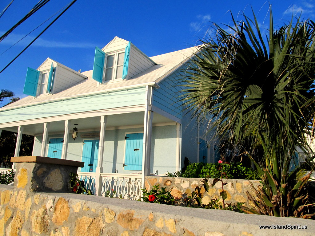
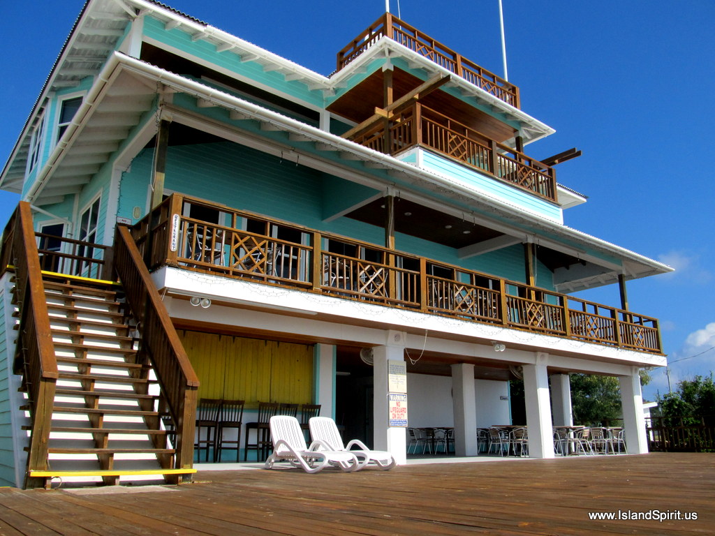
…Look how nice this place is….Long Island Breeze…..

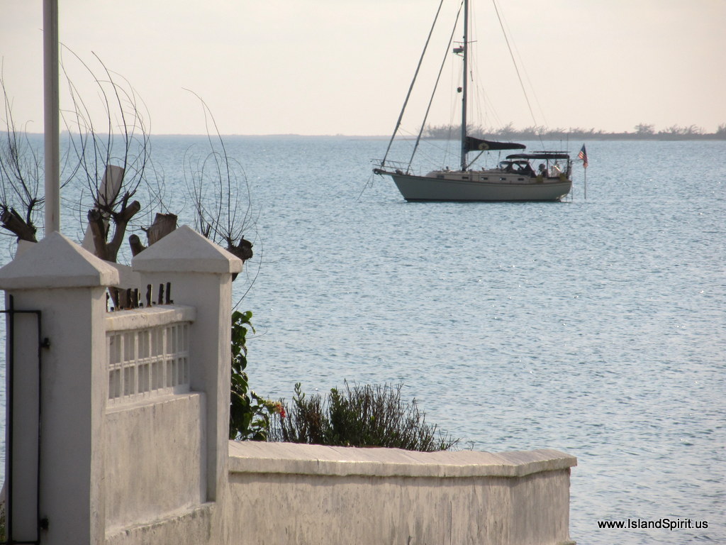
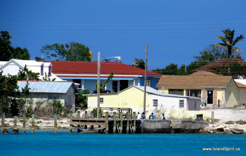
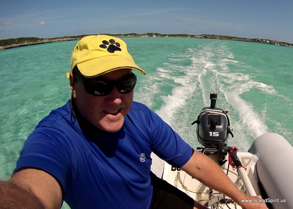
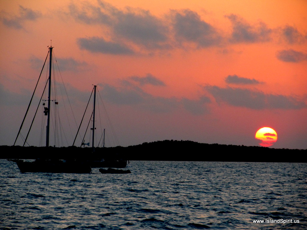
Thompson Bay, Long Island, in the Out Island Bahamas, is a great harbor for anchoring and riding out a cold front. The harbor is large with the Indian Point peninsula protecting yachts from the West and North West winds that arrive at 25-30 knots during cold fronts. This is the reason there are about 35 boats anchored here. The real treasure is the LONG ISLAND BREEZE RESORT run by Michael and Linda who provide the dinghy dock, WiFi, laundry room, pool, guest cottages and a fantastic restaurant and pub. The dinghy ride from Thompson Bay to the resort is about 1.4 miles,  longer than usual for us. When the wind comes, you need a foul weather jacket and you better hold on, because it is a WILD ride to the dock!

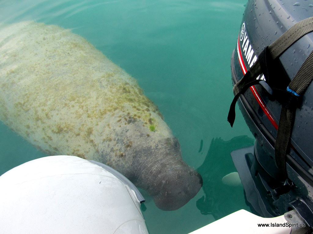
When approaching the dock, you may be greeted by “SANDY” the pet manatee who hangs around the dinghies. Here is Sandy stopping to visit us…

Sandy will get so close that you can scratch his head. If you are lucky, he will even exhale right in your face and you will take in the aroma of “manatee breath” …. how…uhhh….interesting!

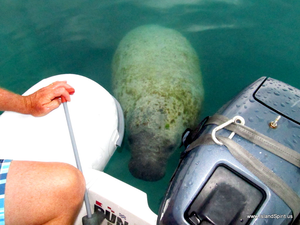
What Sandy really wants is a drink of fresh water (rain water) that he has learned will be pumped out of the dinghies when the owners arrive. Below, Sandy is drinking in all the rain water I can pump out of our dinghy (named BUNS II) ….See the water pouring straight into his mouth? Very FUN!

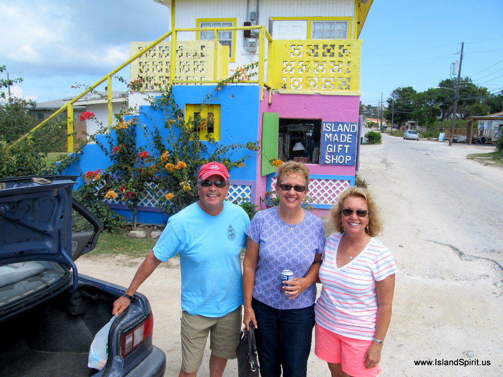
We decided to rent Michael’s “cruiser” car and teamed up with s/v SPUNKY, John and Elise. Together we toured the island Museum and public library, then continued on Queen’s Highway down to Clarence Town and visited the two famous churches and Dean’s Blue Hole. 

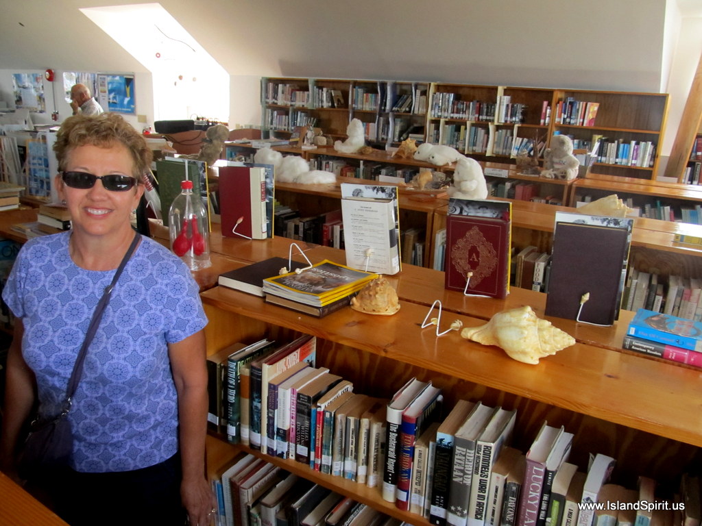
Stop #1 was at the local PUBLIC LIBRARY and history MUSEUM for Long Island. Radeen enjoyed visiting with the Librarian and asking about her program and funding systems. Her salary is paid by the government, but she has no budget, so must rely solely on donations of books and other materials

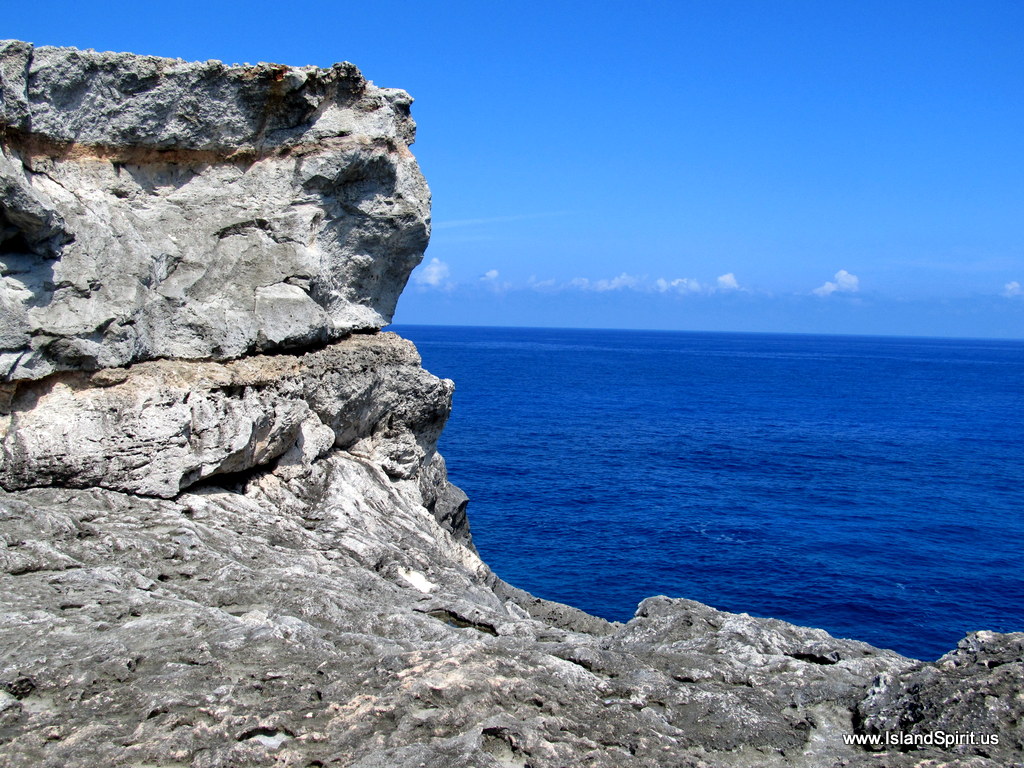
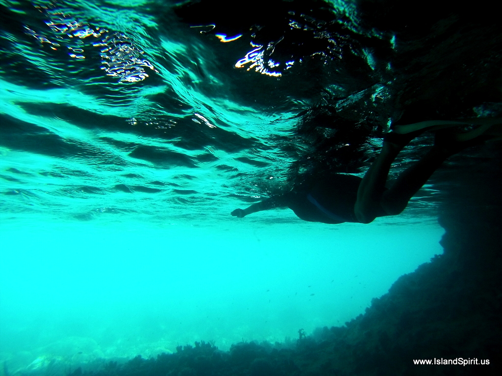
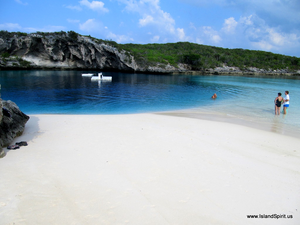
As we drove south, we made a stop at Dean’s Blue Hole and gazed into the 600+ foot deep sink hole. Sadly, there is a memorial here for three people who died due to the fact that water flows down into the hole with a falling tide and it rushes up with a rising tide. If you are not careful, a dropping tide can pull you down into the hole and this is how several people have drowned.

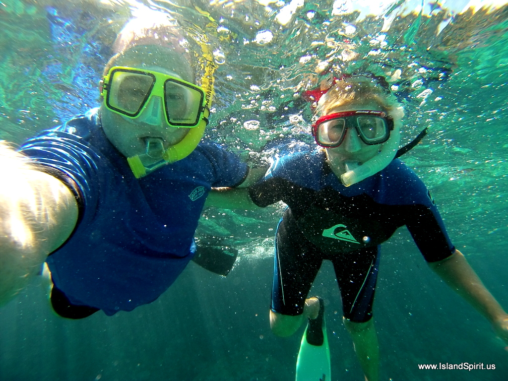
After lunch, we stopped back at Dean’s Blue Hole and we all went for a swim. The tide was rising, so the water was coming up from 600 feet below and onto the sloping sand bar. The platforms in the center are anchored to the shore. World record free divers practice here, diving down to nearly 400 feet and then swimming back up! Try to hold your breath for 4 minutes to see what this is like!

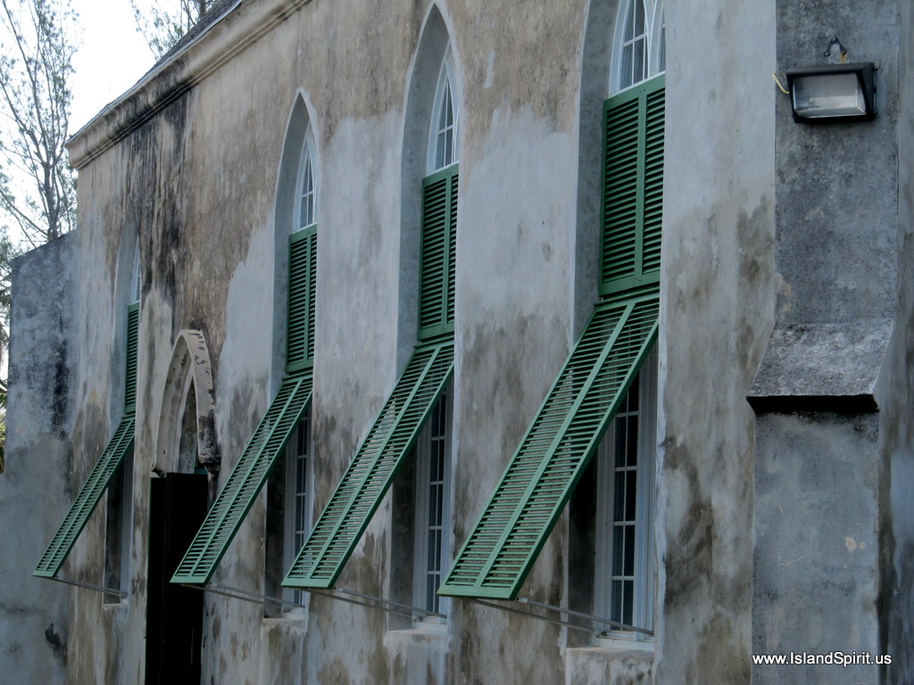
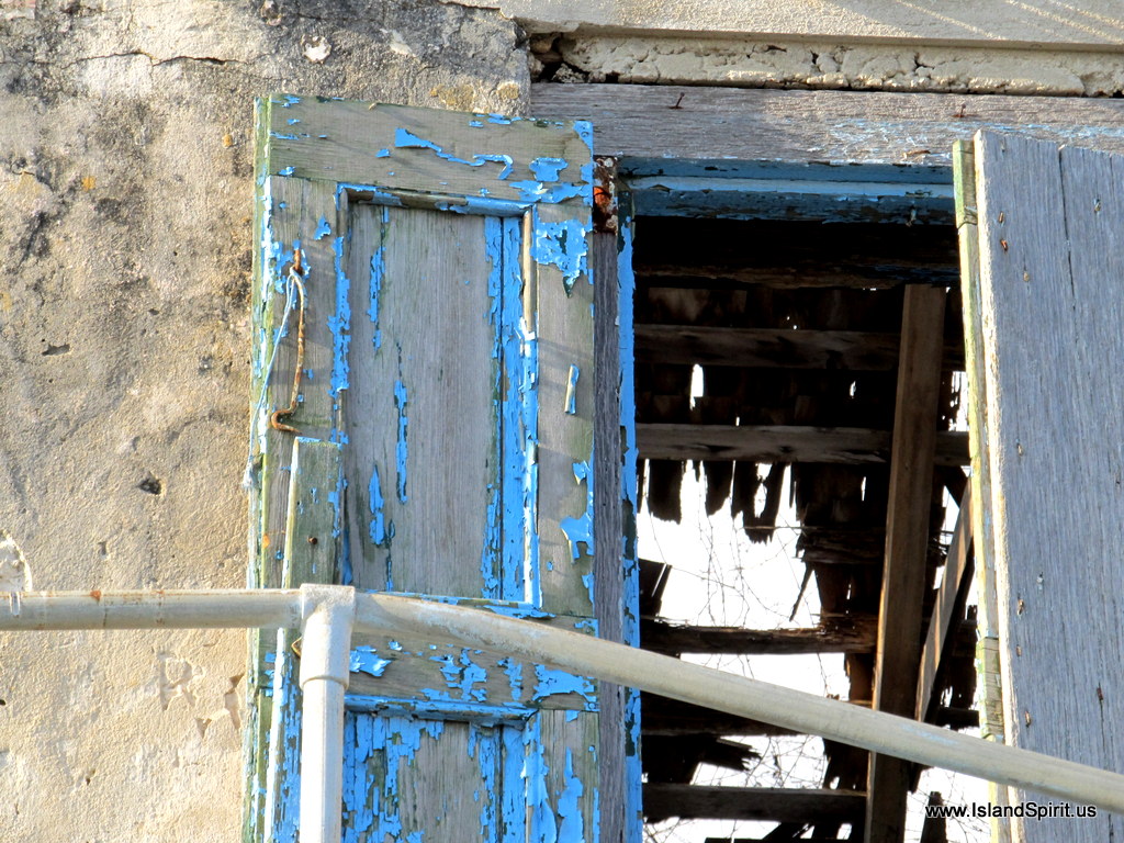
Father Jerome built St. Paul’s Anglican Church in George Town and it is presently being restored after the damages from Hurricane Sandy

The interior of the church is being reinforced with concrete columns and a new roof was installed with funds donated by the Flying Fish Marina.

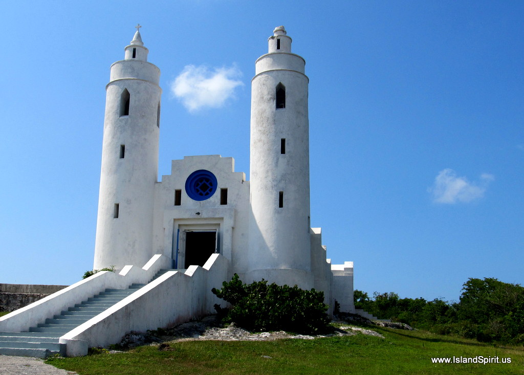
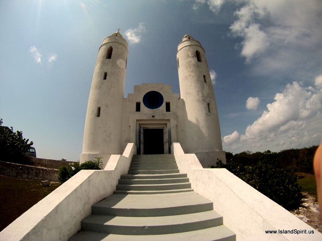
After his conversion to Catholicism, Father Jerome built St. Peter’s and St. Paul’s Church in 1946. He was originally trained as an architect.

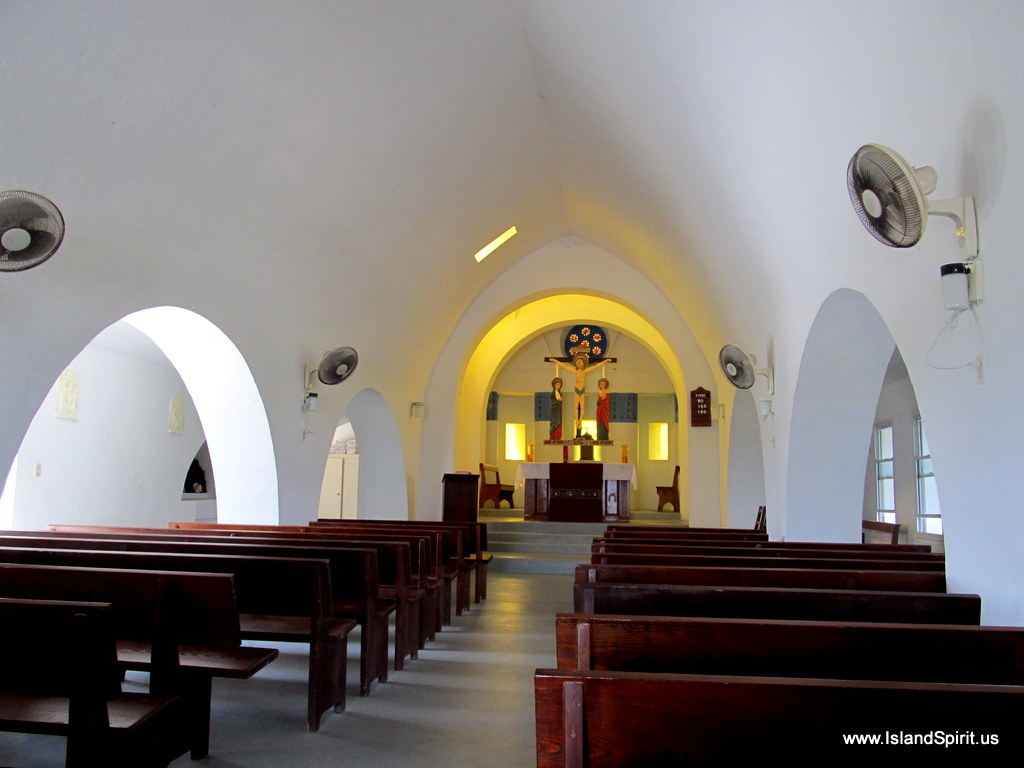
The interior of the Catholic Church is well restored and is used for several weekly services. There are a total of 14 churches, 35 restaurants and 4,000 very friendly residents on Long Island.

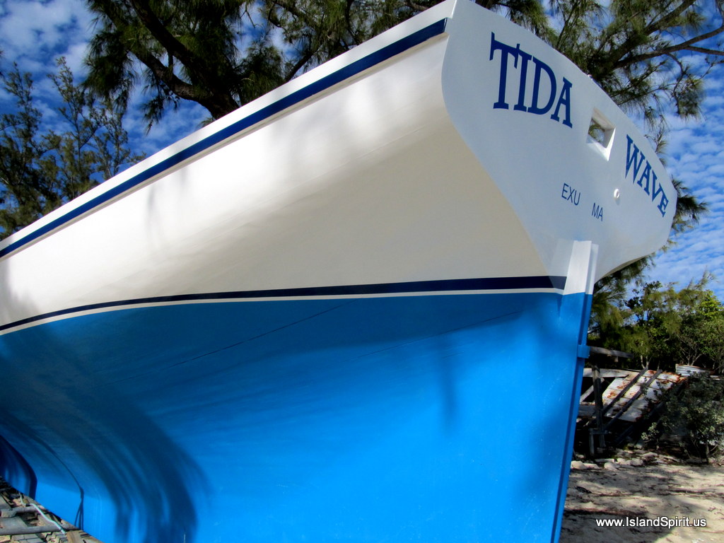
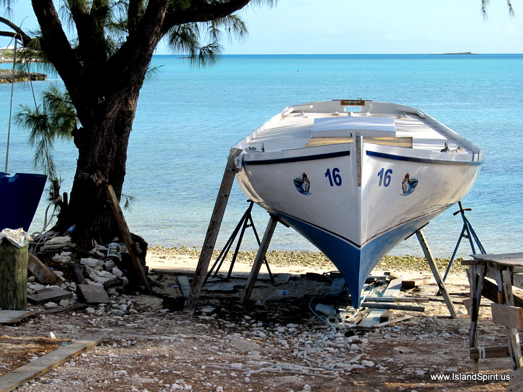
Mr. Knowles is the local boat builder on Long Island and here he stands in front of his latest project, which will be ready the end of next week for launch! All the wood is native and cut by hand and the ribs are carved via chain saws and hand saws.

This is what a twenty year old Long Island sloop looks like. Beautiful!

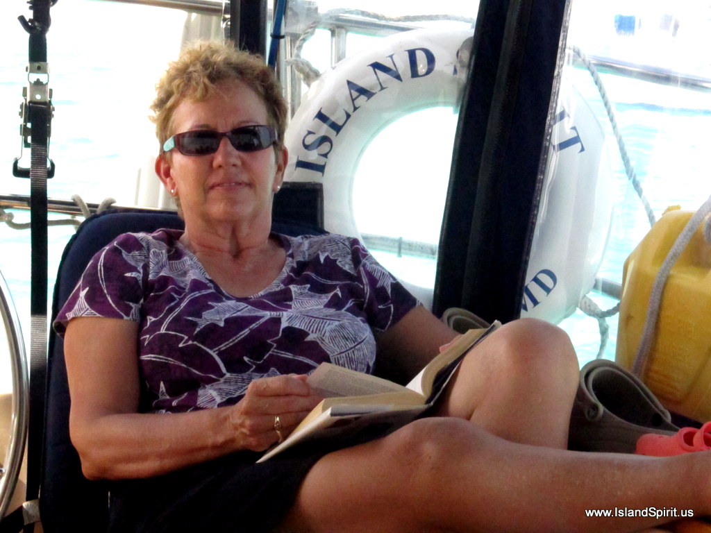
While on anchor in Thompson Bay, we celebrated Radeen’s birthday. We enjoyed good meals, hot fudge pudding cake, walks on the beach, visits with other cruisers and a very relaxing time….

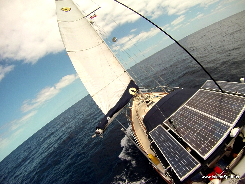
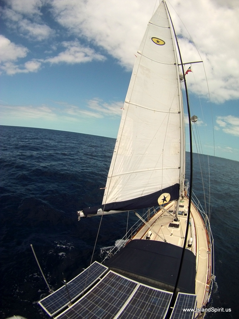
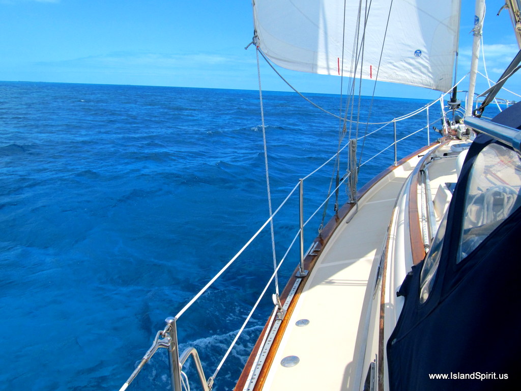
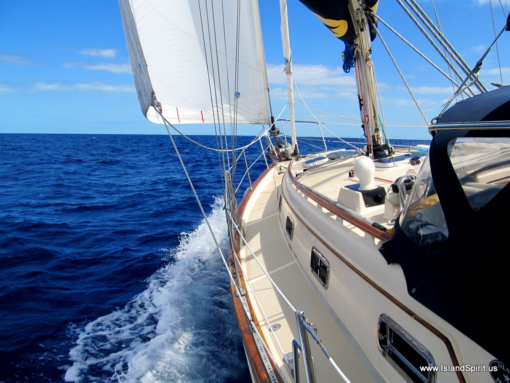
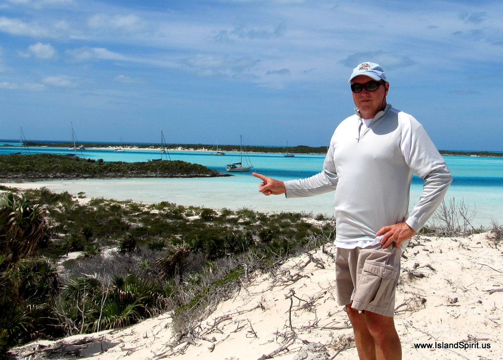
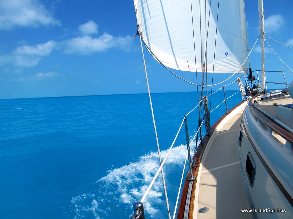
Over all, Long Island is a beautiful place to escape the activities and popularity of George Town where 300 boats are at anchor. This is also a good staging area for points south and east of here. For us, this will be our turn around, as we go back to George Town and then begin our trek north to the Abacos. 

Long Island Blues

Blue water as we sail for Long Island…

The farther into the Bahamas we sail, the more BLUE it all seems to be, the sky and the water, so we are calling this Long Island BLUES…..
Long Island is in the Far Bahamas, 48 miles east south east of George Town with several harbors. We chose the most popular harbor, mile wide Thompson Bay, for our arrival, and found only 15 other cruising sailboats on anchor. We plan to stay for the next cold front passing here in a few days with 25+ knot NW winds. After that passes, we will decide where to go next.

There it is again, our shadow on the sand 10 feet down….beautiful

Our primary target from here is the Abacos by April for our good friends Wendy and Craig to arrive. We have a month to get there and are excited see the Exumas, stopping at all the places we missed on the way south. For now, we will take in these beautiful blue waters and discover Long Island.

Here are some Long Island BLUES photos….

Using a GoPro camera on a boat hook (Blaine Style) to get these great shots!

Radeen reading her 20,000th book…..librarians want to read them all 🙂

Hayden sailing, Radeen reading, enjoying the blue waters
We are real lazy here, JIB ONLY….cruiser style
Sunset at anchor off Indian Point, Long Island, we are about a mile from town

So….we will explore Long Island tomorrow. Most likely, we will ride out the next cold front behind Indian Point for protection. Too much to discover….too little time….but, we will do out best 🙂 Thanks for traveling along with us….

This was UPLOADED from nearly off the GRID …..here
Long Island, Bahamas